What this paper found
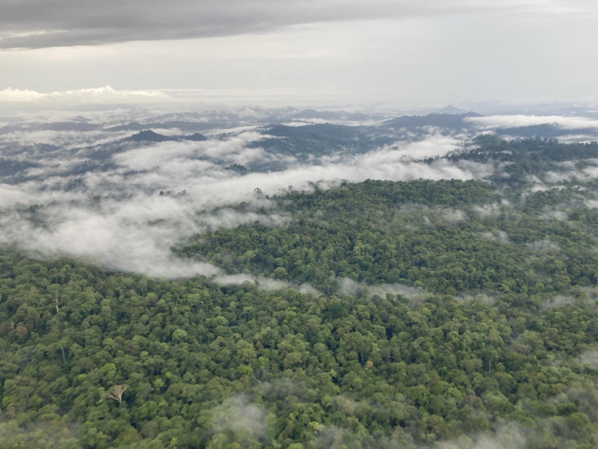
UAV-based structure-from-motion photogrammetry is widely used to measure plant structure and biomass, but reproducibility under varying field conditions has been poorly characterised. This study found that reconstructed canopy heights are sensitive to wind speed but relatively insensitive to illumination, guiding survey design for digital MRV applications in forest carbon monitoring.
How this informs belian.earth’s work
Drone photogrammetry is increasingly used in digital MRV. Hugh and Andy co-authored this work characterising how reconstructed canopy heights respond to wind and illumination, guidance that matters for any project relying on UAV-based biomass monitoring.
Frequently asked questions
How reliable are drone photogrammetry surveys for measuring vegetation canopy height under different field conditions?
+
UAV-based structure-from-motion (SfM) photogrammetry is increasingly used by ecologists to measure plant structure and biomass, but its reproducibility under varying operational conditions has not been well characterised. This study found that reconstructed canopy heights are sensitive to wind speed but relatively insensitive to illumination conditions, providing important guidance for survey design. For digital MRV applications, this finding helps practitioners understand which environmental conditions introduce measurement error when using drone surveys to estimate forest biomass and carbon stocks.
Want more like this?

Read our take
The carbon baseline problem nobody wants to talk about
The carbon market has an integrity problem. But while the industry obsesses over which biomass map to trust, the real uncertainty is in the carbon baseline.
Read article
Stay in the loop
Stay up to date with developments in independent reference area selection and carbon market baselining.
Related papers
Estimating canopy height in tropical forests: Integrating airborne LiDAR and multi-spectral optical data with machine learning
Brianna Pickstone et al.
Sustainable Environment, 2025
Read more
Global application of an unoccupied aerial vehicle photogrammetry protocol for predicting aboveground biomass in non-forest ecosystems
Andrew Cunliffe et al.
Remote Sensing in Ecology and Conservation, 2021
View on doi.org
Evaluating GEDI for quantifying forest structure across a gradient of degradation in Amazonian rainforests
Emily Doyle et al.
Environmental Research Letters, 2025
Read more
Citation
Slade, G. et al. (2025). Repeated drone photogrammetry surveys demonstrate that reconstructed canopy heights are sensitive to wind speed but relatively insensitive to illumination conditions. International Journal of Remote Sensing. https://doi.org/10.1080/01431161.2024.2377832